It seems Freddie fibbed.
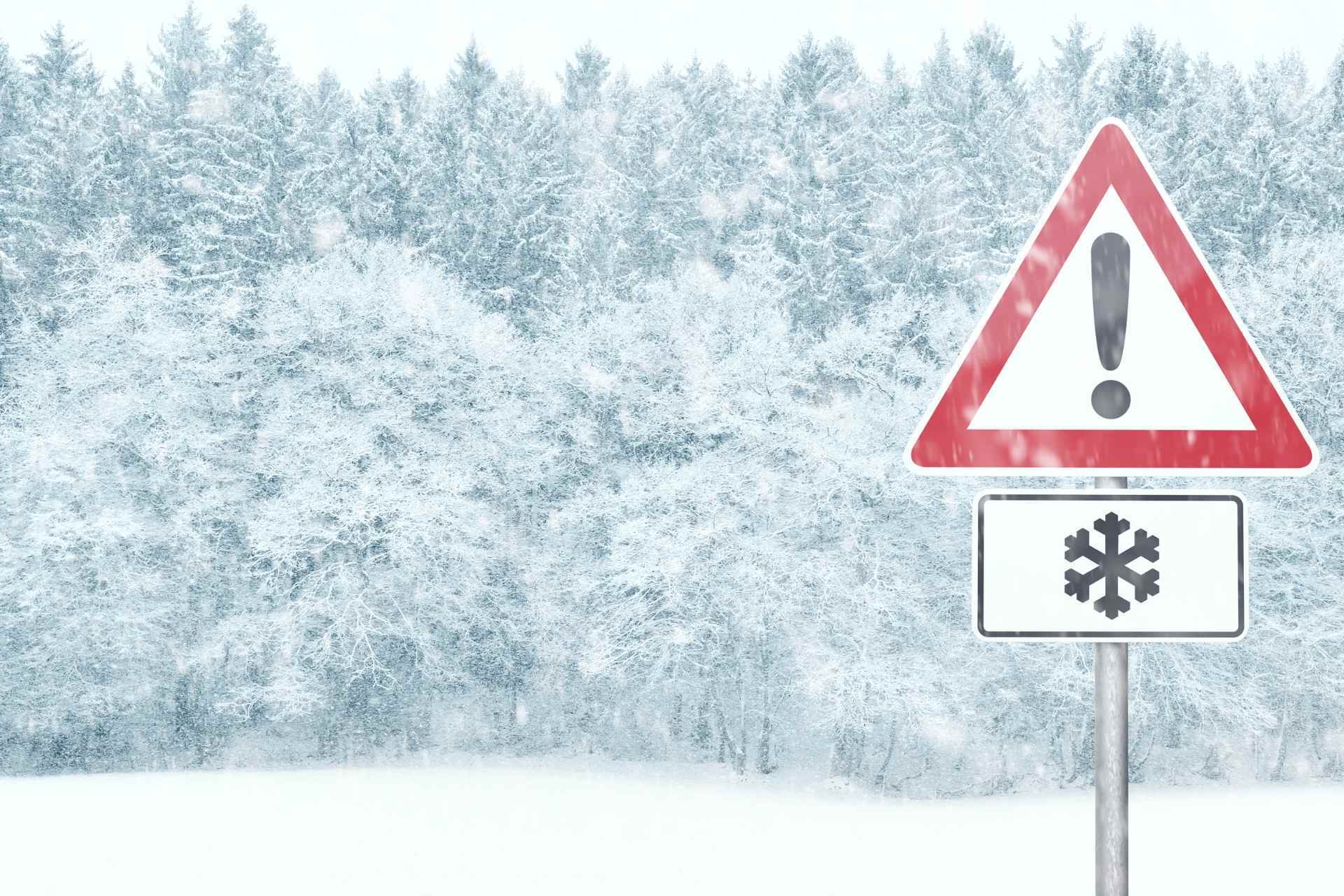
Ever since French Creek Freddie predicted an early spring on Groundhog Day, the Mountain State has been battered by snow and ice – and more is likely on the way.
The National Weather Service office in Charleston has issued a winter storm watch for much of the state, including Upshur County, that runs from Wednesday evening through Friday morning. According to the NWS, more than four inches of heavy snow are possible as another winter storm moves east.
“Two rounds of wintry precipitation are expected,” the NWS warns. “The first is forecast to occur Wednesday night into Thursday morning. The second is forecast to occur Thursday night.”

With temperatures on the warmer side – a low of 25 and a high of 39 on Thursday – a slushy mix of snow and rain is predicted.
“Heavy mixed precipitation is possible,” according to the NWS. “Total snow accumulations of over four inches and ice accumulations of a light glaze possible.”
However, the NWS forecast discussion says much will depend on the temperature.
“Depending on how warm/cool the area ends up getting, the expected snow and ice amounts could change drastically from what is currently in the forecast,” the weather service says.

The result could be another few days of treacherous road conditions.
“Travel could be very difficult,” the NWS advises. “The hazardous conditions could impact the morning or evening commute.”
Bookending the winter weather watch are more bitterly cold nights. The low Tuesday night is just 13 degrees, and Friday and Saturday are both forecast to be cold as well, with highs in the 20s and a low of 12 degrees each night.