Don’t let the blue skies fool you — the brief reprieve is only expected to last a few hours, with another winter storm due to blast West Virginia starting Wednesday night.
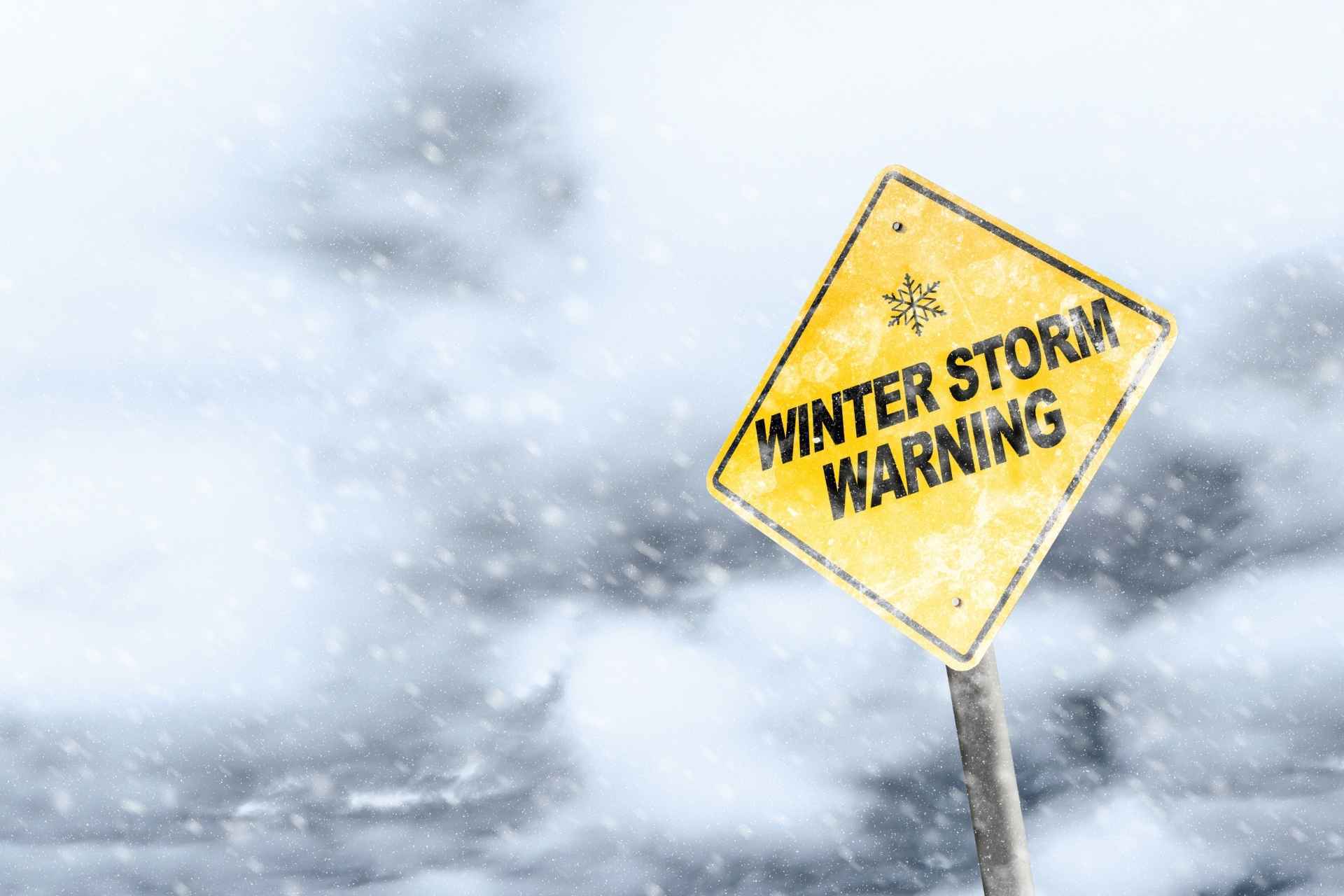
The National Weather Service in Charleston has upgraded much of the Mountain State to a winter storm warning, with as much as 8 inches of snow and ice expected to accumulate in some parts of the state.
“Heavy mixed precipitation expected,” the warning reads. “Total snow accumulations of 5 to 8 inches and ice accumulations of around one tenth of an inch.”
The warning runs from 7 p.m. Wednesday through 10 a.m. Friday.

“Travel could be very difficult,” the NWS cautions. “The hazardous conditions could impact the morning or evening commute. If you must travel, keep an extra flashlight, food, and water in your vehicle in case of an emergency.”
Temperatures are expected to remain steady, with highs in the low-to-mid-30s and lows in the mid-20s. After the storm moves through, the low plummets to 13 degrees Friday night.
About 1-3 inches of snow are expected as the system arrives tonight.
“Yet another winter system arrives tonight,” the Charleston office forecast discussion notes. “Initial precipitation will arrive in the form of snow throughout the area.”

Thursday could see a mix of snow and rain.
“As temperatures begin to warm up Thursday, snow should begin to
change over to mostly rain, with a wintry mix of precipitation
possible as it transitions,” according to the NWS. “The timing of the transition, however, could quickly change things in the forecast if it occurs too early/too late.
“If it changes over earlier than currently expected, the southern areas may receive more rain/wintry mix and thus less snow for those areas Thursday morning. Some areas, particularly the very northern and western portions, may remain cold enough to stay as snow through the day, or have brief periods of rain mixed in.”
A mostly clear weekend is forecast to follow the storm, but more snow could then be on the way heading into next week.

“Sunday night into Monday, a surface low will move along just north of the area with its associated cold front passing through the area on Monday,” the NWS notes. “Chances for rain and snow showers will be possible once again and upslope showers may also linger in the mountains behind this system.”