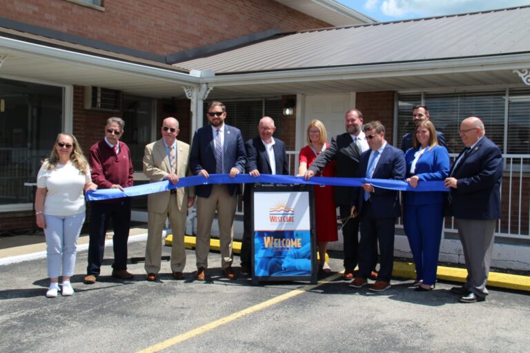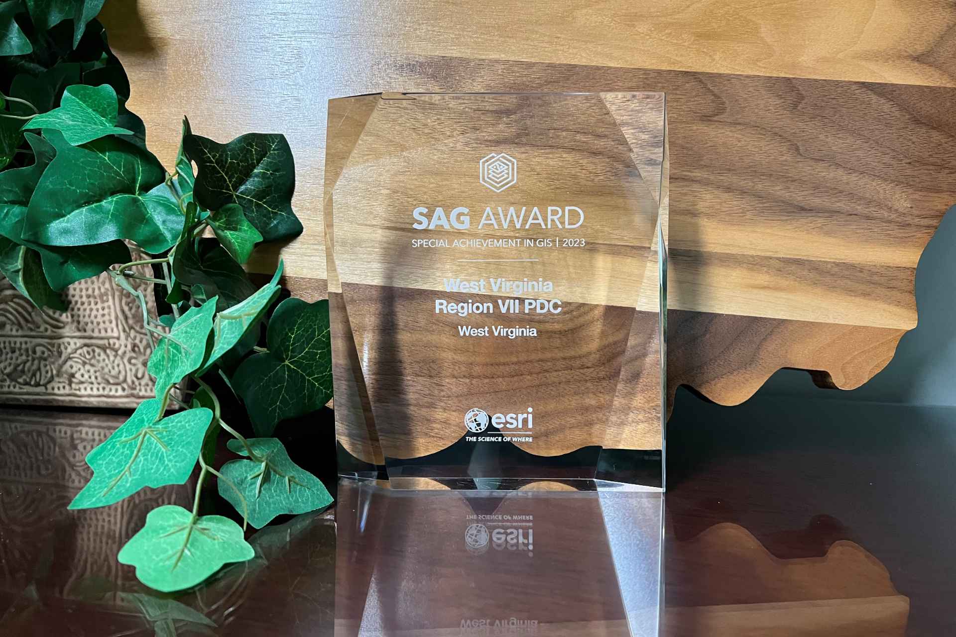
REDLANDS, Calif. — Esri, the global leader in location intelligence, presented Region VII Planning and Development Council (PDC) with the Special Achievement in GIS (SAG) Award on July 12, 2023, at the annual Esri User Conference (Esri UC). Selected from hundreds of thousands of users, Region VII PDC received the award for its innovative use of mapping and analytics technology, as well as leadership in the field of economic development dedicated to improving the quality of life for the residents of north central West Virginia.
The SAG Award is intended to demonstrate an appreciation for organizations worldwide using geographic information system (GIS) technology to understand vast amounts of data and solve complex problems. Region VII PDC is the only organization from West Virginia to receive a 2023 SAG award.
“Users across all industries continue to show the groundbreaking possibilities of what GIS can help them accomplish,” said Jack Dangermond, Esri founder and president. “I am honored to recognize all the organizations for the many ways they are taking a geographic approach toward meeting some of the most pressing challenges our world faces today.”
Region VII Planning and Development Council is one of 11 planning and development councils in West Virginia, with headquarters in Buckhannon. Region VII serves the surrounding seven-county regions of Barbour, Braxton, Gilmer, Lewis, Randolph, Tucker, and Upshur.

“Region VII PDC serves as a development district to more effectively utilize funding resources and maximize our communities’ chances of attracting funds from federal, state, and local organizations. We help foster community and economic development and intergovernmental cooperation throughout the state,” explained Shane Whitehair, executive director. “To date, we are managing and developing over 127 infrastructure and economic development projects at a value of over $445 million—all for our local communities.”
Whitehair further explained that with a concentrated effort to help organizations build a system of record and retain institutional knowledge of their utility assets, Region VII PDC has built a GIS system for data collection, management, and visualizations. “We work closely with each entity to identify their needs and integrate GIS with their current processes,” said Whitehair.
Region VII is also implementing the use of GIS internally for records and reporting efforts, transitioning spreadsheet forms to mobile and web survey forms for tracking travel data, application submissions, and project information. Using the GIS software allows easy data input and summary visualizations that assist in completing required reports.
“I’m honored to have been recognized by Esri with one of this year’s SAG awards for the work myself and Region VII PDC has been doing with GIS in our region,” said Stacey McDaniel, GIS project specialist. “It is rewarding to be presented with this type of recognition for the GIS work I have been doing, and we hope to continue to support and expand the use of GIS within our service area in the future.”

A total of 200 organizations from the commercial industry, defense, transportation, nonprofit work, telecommunications, and government sectors were honored. Esri staff annually nominate hundreds of candidates from around the world for consideration, and Dangermond selects the finalists.
For more information on how Region VII PDC is setting the trend in using geospatial technology, visitregionvii.com/resources.