Editor’s note: This story was originally published by Mountain State Spotlight. Get stories like this delivered to your email inbox once a week; sign up for the free newsletter at https://mountainstatespotlight.org/newsletter
By Alexa Beyer, Mountain State Spotlight
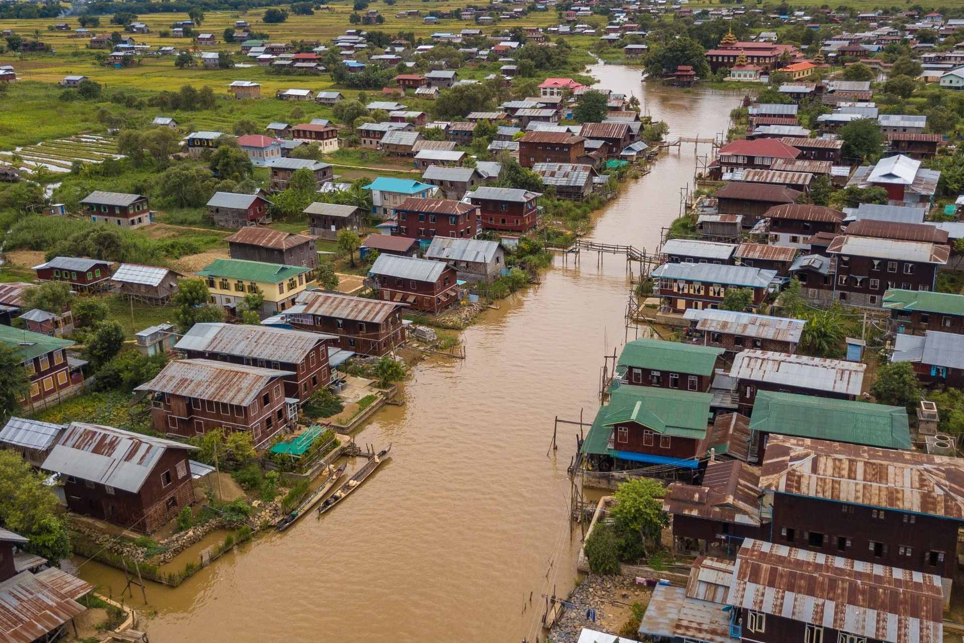
When four and a half feet of water engulfed the town of Fleming-Neon, Kentucky, in July, fire chief Carter Bevins found himself in an unfamiliar position.
“We were helpless,” he said.
The volunteer firehouse, which sits on a small road directly in front of Wright Fork creek, was surrounded by a chest-high wall of water. The phone rang again and again, with residents begging for help. But Bevins and his team couldn’t open the door. All the firefighters could suggest to panicked residents was that they get as high as they could.
“We try to take any situation and neutralize it, make it for the better. How you gonna do that when you can’t even get out of your own building?” Bevins asked.
Fleming-Neon wasn’t the only community to find itself in this position: With vast portions of eastern Kentucky still reeling from the July flooding that ruined thousands of buildings, displaced hundreds and killed 39 people, elected officials are focusing on disaster response. The same is true right across the border in West Virginia, where catastrophic flooding has become a regular occurrence for people in communities from McDowell to Kanawha.
But for years, officials have ignored their own, completed plans for how to prevent these kinds of disasters from happening in the first place. West Virginia has had a comprehensive flood mitigation plan on the books since 2004, though officials have taken little concrete action to implement it. And in Kentucky, extensive regional plans spell out how communities could decrease the potential for flood damage.
In these cases, planning and taking action haven’t gone hand-in-hand.
Climate change is shaping the floods, the evacuations, the response
The topography and residential patterns of eastern Kentucky and West Virginia naturally lend themselves to flooding. In these mountainous areas, where most people live on narrow strips of land next to creeks and surrounded by mountains, water runs down the mountains and overflows small tributaries.
But the past decades of logging and coal mining have made these flooding events worse, by stripping surface areas of their ability to absorb the water. And as the climate changes, major flooding events will happen even more frequently.
Climate change makes the region more prone to sudden, intense storms that drop a lot of rain, as an increase in atmospheric temperature increases the amount of water vapor in the atmosphere, making precipitation, and in particular flooding, more likely.
Marshall University professor and State Climatologist Kevin Law says he’s seen an increase in precipitation in West Virginia and much of the region since he began his role in 2008.
Part of a state climatologist’s job is to use this data to predict future climate trends.
But Law says that global warming is also making floods like the recent one in eastern Kentucky harder to pinpoint in advance. Due to temperature-driven changes in the jet stream, which steers storms, there have been more “training” events in the region: where very narrow yet intense storms line up like cars on a railroad track and follow each other.
These storms are so narrow that it’s difficult for climatologists to accurately predict where they’re going to turn up until they actually happen, as if they were tornadoes, Law says.
“You can kind of get an idea if it’s going to happen in Kentucky, but precisely where you just don’t know until you start to see that line up on the radar, and then you can put out the warning but oftentimes then it can be too late,” he said.
The increased frequency and severity of storms means that Kentuckians and West Virginians are facing more potential damage on a regular basis. That makes infrastructure projects like dams and floodwalls, as well as levees, updates to buildings, and emergency notification systems all the more important.
In West Virginia, after 20 years, plan is still a work in progress

West Virginia is very familiar with the type of planning required to protect residents from the worst impacts of floods. In 2004, a 20-agency task force produced a 365-page Statewide Flood Protection Plan, the result of generous federal and state contributions and four years of work. The plan was loaded with actionable suggestions on floodplain and wastewater management, ordinance enforcement, better flood warning systems, improved building codes, and a tougher approach to resource extraction. Yet it was never implemented by any of the state agencies that would have had jurisdiction over parts of the plan.
Here, the effects of this more frequent flooding were most recently obvious in 2016, when a catastrophic flood damaged or destroyed thousands of homes and businesses, and killed 23 people.
Weeks later, the Charleston Gazette-Mail reported how the state had taken no action on the earlier plan. The following year, the state Legislature established a joint Flood Committee and a State Resiliency Office, designed to orchestrate statewide responses to disasters and create a new flood mitigation plan that drew from the work done on the first one.
Five years after the committee and the state office were created to update the state’s mitigation plans, there is nothing in place.
“There’s not, unfortunately, a lot of instant gratification associated with mitigating flood risk,” said Matthew Sanderson, the senior manager of flood-prepared communities for Pew Research Fund. Pew is currently working with the Resiliency Office to develop a new plan. He said that the more frequent and severe flood events that states like West Virginia are seeing mean that nobody is prepared to take flooding on properly.


